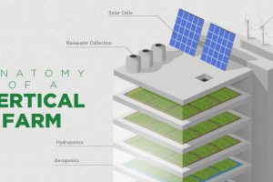
What if a skyscraper could supply sustainable farm food to the city more efficiently and profitably? This infographic explains how vertical farming works. Read more
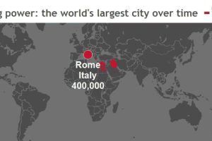
These stunning animations and interactive maps show the changing title for the world’s largest city, as well as the rapid pace of urbanization in today’s world. Read more
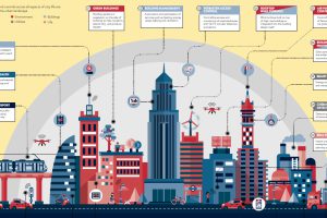
Cities are using more food, energy, and materials than ever before. See the technologies being used by the world’s smartest cities to combat these issues. Read more
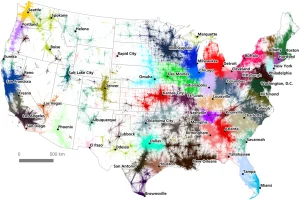
A massive commuter dataset and algorithmic approach have created a unique, new map of America’s megaregions. Read more
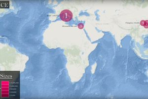
See how the list of the world’s five largest cities has changed between 3000 BC until today, and how it’s expected to shift as we close out the 21st century. Read more
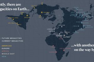
There are currently 33 megacities in the world with over 10 million inhabitants – but by 2030, there will be six new megacities, including one in the U.S. Read more
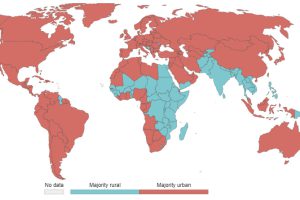
55% of the world lives in urban areas today. But what defines an urban population, and how will this big picture change by 2050? Read more
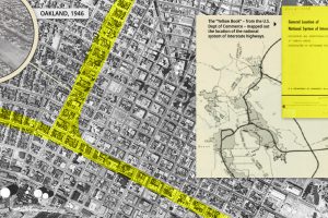
Highways improved mobility for the average American, ingraining the automobile into the urban fabric of American cities, for better and worse. Read more

