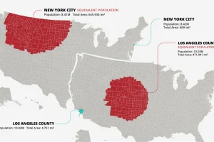
The U.S. population is spread across a huge amount of land, but its distribution is far from equal. These maps are a unique look at population density Read more
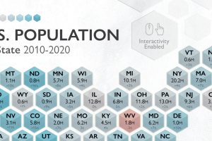
The U.S. saw 7.4% population growth in the past decade, the lowest it’s been since the 1930s. How does population by state look today? Read more
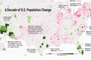
This map shows which counties in the U.S. have seen the most growth, and which places have seen their populations dwindle in the last 10 years. Read more
Reimagining all 200 million of the American workforce as 100 people: where do they all work, what positions they hold, and what jobs they do? Read more
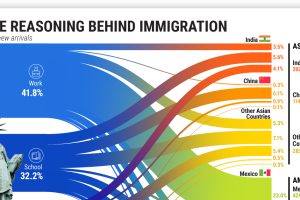
More than 45 million American residents were immigrants in 2021, having moved for various reasons. Read more

