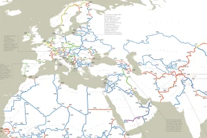
This detailed and incredible map shows the exact date of origin for every one of the world’s international borders. Read more
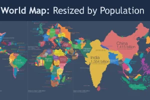
Look at global population in a whole new light, when countries on the world map are drawn based on population numbers instead of their usual borders. Read more
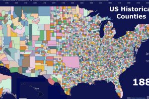
This video highlights the history of American counties, and how their boundaries have changed over the last 300 years. Read more
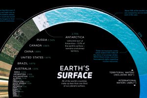
There are 510 million km² of area on the Earth, but less than 30% of this is land. Here’s the share countries make up of the Earth’s surface. Read more
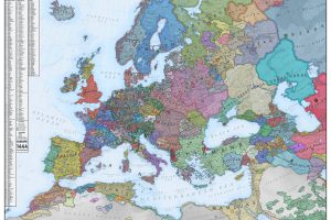
What did Europe look like in the Middle Ages? This map is a snapshot of medieval Europe back in 1444, during the rise of the Ottoman Empire. Read more
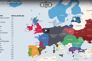
The history of Europe is breathtakingly complex, but this animation helps makes sense of 2,400 years of change on the European map. Read more
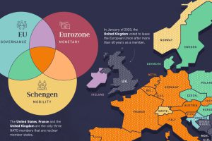
Europe’s member states are part of one or more of the four major treaty groups. Here we map the countries that are part of these groups. Read more
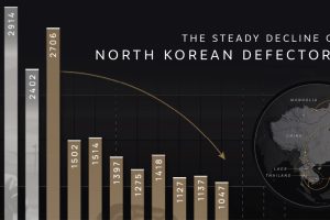
Why are the number of North Korean defectors decreasing? We cover the number of defectors by year and map their perilous escape routes. Read more

